

 Cover image via Business & Human Rights Resource Center
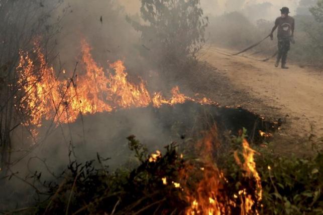
It was reported today, 12 May, that the country will face a transboundary haze starting June till October due to the extreme hot and dry weather in Sumatra and Kalimantan in Indonesia

The haze late last year in Malaysia lasted for months and was one of the worst the nation has ever seen
Image via The Malay Mail Online
However, the haze is expected to be a less serious one compared to last year's, as it is expected to be accompanied by the La Nina phenomenon, the positive phase of the El Niño phenomenon


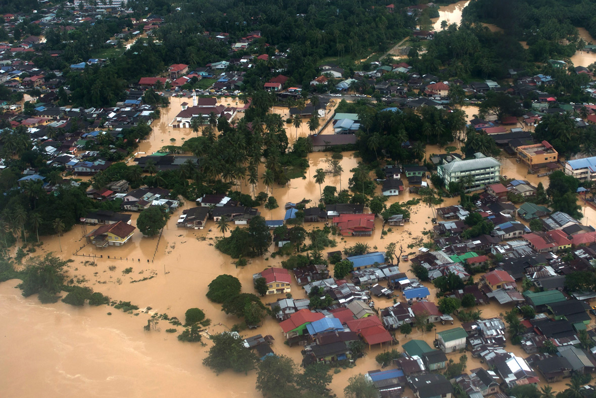
An aerial view of the flood in Pengkalan Chepa, Kota Bharu back in 2014
Image via International Business Times
Natural Resource and Environment Minister, Datuk Seri Wan Junaidi also explained how both the Indonesian and Malaysian governments are looking at handling this delicate issue with the aid of the government-to-government (G2G) cooperation

Both the governments will sit down for a technical meeting in Indonesia on 30 May for a discussion on the most effective ways to tackle this issue
What is La Nina? La Nina occurs when the temperature of ocean waters in the eastern and tropical Pacific Ocean are cooler than normal
According the National Geographic Society, La Nina usually brings rainy weather in Australia, Indonesia and cooler sea surface temperatures off the coast of South America.
**One of the major concerns that comes with the possibility of La Nina in Malaysia apart from the flooding in east coast states is the effect it would have on palm oil production.**
The Malaysian Palm Oil Industry states that the country accounts for 39% of the world palm oil production and 44% of the world exports. We are also the second largest producer of palm oil after Indonesia.
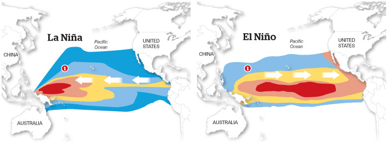
Image via National Ocean Service